
EUDR geolocation: what data is required and in what format?

By Bruno Domínguez García · CEO and co-founder of Coolx
Published on November 12, 2026
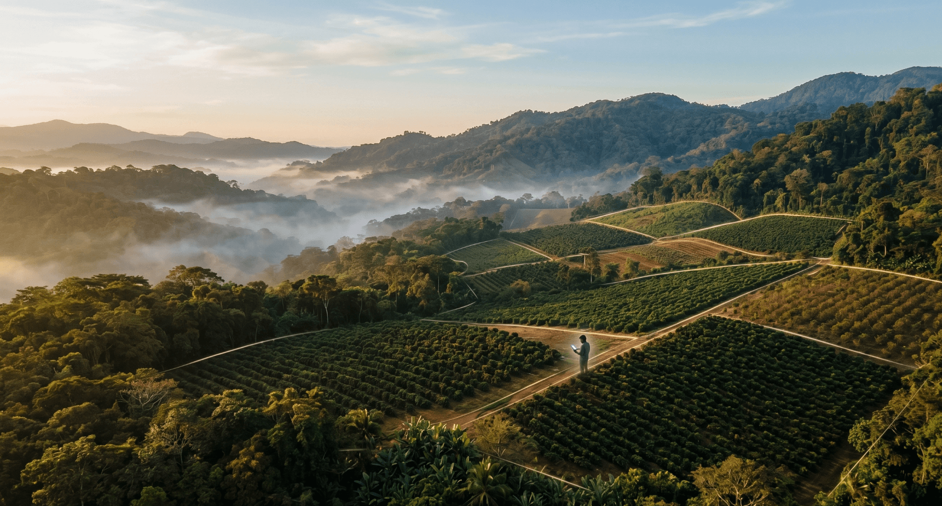
Short answer: the EUDR requires the geolocation of every plot of land where the commodity was produced, with latitude and longitude coordinates of at least six decimal digits. Plots of more than 4 hectares need a polygon showing the perimeter; for plots of 4 hectares or less a single point is enough. For cattle, every establishment where the animal was kept is geolocated. In the EUDR Information System, files are uploaded in GeoJSON (WGS-84, EPSG:4326), with a maximum of 25 MB per statement.
What exactly does the Regulation say about geolocation?
The definition is in Article 2, point 28, of Regulation (EU) 2023/1115: geolocation is the location of a plot of land "described by means of latitude and longitude coordinates corresponding to at least one latitude and one longitude point and using at least six decimal digits". For plots of more than four hectares used for commodities other than cattle, "this shall be provided using polygons".
Art. 9(1)(d) requires the operator to gather the geolocation of all plots of land that supplied the commodity in the product, together with the date or time range of production. It adds a strict rule: any deforestation or forest degradation on a declared plot automatically bars everything produced on it from being placed on the market.
Point or polygon? The 4-hectare rule
| Case | What you must provide | Source |
|---|---|---|
| Plot of more than 4 ha (coffee, cocoa, soya, oil palm, rubber, wood) | Polygon with enough points to describe the perimeter | Art. 2(28) |
| Plot of 4 ha or less | A single point (latitude and longitude) or, if preferred, a polygon | Art. 2(28); FAQ 1.1 and 1.8 |
| Cattle | One point for each establishment where the animal was kept, whatever its size | Art. 9(1)(d); FAQ 1.1 and 1.8 |
| Micro or small primary operator (low-risk country) | May replace geolocation with the postal address of the plots or establishment | Art. 4a(5); FAQ 3.28 |
Two clarifications from the Commission (FAQ, version 5, May 2026):
- The threshold is "more than 4 hectares": a plot of exactly 4 ha can be declared with a single point.
- A central point with a radius is not acceptable: the polygon must describe the perimeter (FAQ 1.16).
What format is uploaded to the EUDR Information System?
- Format: GeoJSON is the only file format accepted. Coordinates can also be entered manually (FAQ 7.8 and 7.26).
- Coordinate system: WGS-84, EPSG:4326 projection (FAQ 7.8).
- Precision: at least six decimal digits. The system pads with zeros if fewer are given (FAQ 7.17), but that adds no real precision: the obligation is to locate the plot correctly.
- Size: a maximum of 25 MB per statement, which according to the Commission is enough for more than a million points or vertices (FAQ 7.16).
- Other limits: up to 200 product lines per statement, 1,000 production places per line and 10,000 production places in total (FAQ 7.12).
- Several countries: the plots of each country of production are declared separately (FAQ 7.13).
If the file exceeds 25 MB, the Commission recommends using points for plots of 4 ha or less and for cattle, and simplifying polygons (for example, 7 vertices instead of 168 for a rectangle). Since July 2026 there has also been an official route: split the data into several statements and group them under a new statement, whose number is the one given to customs (Art. 8a of Implementing Regulation 2024/3084, introduced by Implementing Regulation (EU) 2026/1565).
How is geolocation collected in the field?
The Commission does not require any specific equipment. According to FAQ 1.1, it can be done with:
- mobile phones with GPS;
- handheld GNSS receivers;
- free apps for mapping or GIS.
No mobile coverage is needed, only a good satellite signal (Galileo, GPS). For a polygon, you walk the perimeter of the area actually cultivated or used. No property title or land registry entry is needed to geolocate a plot (FAQ 1.6 and 1.10), although the legality of land use is still required under the law of the country.
The EUDR Information System map uses OpenStreetMap and does not include satellite imagery, so the Commission recommends checking coordinates with other tools (FAQ 7.5). Even when the data comes from the producer, the operator is responsible for its accuracy (FAQ 1.11 and 1.12).
What is required for cattle?
- The geolocation of all establishments where the cattle were kept: breeding, rearing, fattening (Art. 9(1)(d) and Annex II, point 3).
- For cattle products, the time range of production is the life of the animal, from birth to slaughter (FAQ 1.25).
- One point per establishment is enough (FAQ 1.8).
- Feed does not need its own geolocation: invoices, reference numbers or other documents showing it is deforestation-free are enough (FAQ 1.26.1).
What about shared or mixed plots?
The Regulation defines a plot of land as land within a single real-estate property with sufficiently homogeneous conditions to allow its risk to be assessed as a whole (Art. 2(27)). Several practical rules follow:
- One polygon, one plot: each polygon describes a single plot, contiguous or not. You cannot draw a large polygon that is only partly productive (FAQ 1.14).
- Farm with several areas: you can declare the whole farm, if it is homogeneous, or only the cultivated area (FAQ 1.15). But legality is assessed for the whole property: illegal deforestation elsewhere on the farm taints production from the declared plot.
- Communal land: lack of registration does not prevent the land actually used from being designated as a plot (FAQ 1.6).
- Silos and mixing: you must declare the plots for everything that entered the silo since it was last emptied, or for the volume needed (for example, 200% of capacity in a FIFO system) to make sure no product of unknown origin is mixed in (FAQ 1.17).
- Over-declaration: allowed in specific cases (traced bulk commodities, crop rotation), but the operator is responsible for all declared plots: if one does not comply, none does (FAQ 1.18).
Who can see my suppliers' coordinates?
This is one of the most frequent questions from exporters. What the official sources say:
| Who | Can they see the geolocation? | Source |
|---|---|---|
| Competent authorities checking compliance | Yes | FAQ 7.7 |
| Customers with the reference number and verification number | Only if whoever submitted the statement has allowed it to be shown | FAQ 3.6 and 7.7 |
| The public | Only anonymised datasets | Art. 33(5) |
In addition, the due diligence statement does not include the producer's name: Annex II asks for the operator, HS code, description, quantity, country and geolocation. The "producer name" field in the system is optional (FAQ 7.12). There is no legal obligation to share geolocation along the supply chain; the parties can agree on it by contract (FAQ 7.15). Personal data in statements is kept in the system for a maximum of five years and is governed by the GDPR (Implementing Regulation 2026/1565).
Frequently asked questions
Does a plot of exactly 4 hectares need a polygon?
No. A polygon is only mandatory for plots of more than 4 hectares (Art. 2(28)).
Are low-risk countries exempt from geolocation?
No. Traceability to the plot of land is required in all cases (FAQ 1.28). Only micro or small primary operators established in low-risk countries can use the postal address.
Can I upload a Shapefile or a KML?
No. The only file format accepted is GeoJSON in WGS-84 (FAQ 7.26). You have to convert it first.
What if a country prohibits sharing plot data?
According to the Commission, a national law does not exempt the operator: without geolocation the product cannot be placed on the EU market (FAQ 1.31).
Does the downstream operator have to collect coordinates?
No. The obligation to geolocate lies with the operator that first places the product on the market or exports it (FAQ 1.1).
Keep reading: what is the EUDR: the complete guide · how to submit the statement in the EUDR Information System, step by step.
Coolx automates the collection and validation of each supplier's geolocation and checks it against deforestation maps before the statement is submitted.
Sources
- Regulation (EU) 2023/1115, consolidated text of 18-9-2026 (EUR-Lex)
- European Commission — Guidance on the Regulation, C/2026/3896 (OJ C, 20-7-2026)
- European Commission — Frequently asked questions on EUDR implementation (official page)
- European Commission — FAQ, version 5 (PDF)
- Implementing Regulation (EU) 2026/1565 (EUR-Lex)
Need help with your EUDR compliance?
Talk to an expert and find out how Coolx can help you comply before December 2026.
Talk to an EUDR expert